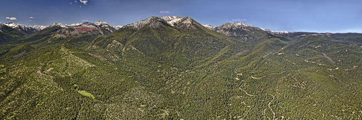
East face of the Elkhorn Mountain Range
Aerial view of 1990s timber harvest practices and 2014 aerial panoramas of the east slope of the Elkhorn Mountain Range
copyright 1975-2018 - Gildemeister
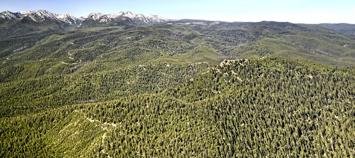
Aerial view of 1990s timber harvest practices and 2014 aerial panoramas of the east slope of the Elkhorn Mountain Range
copyright 1975-2018 - Gildemeister
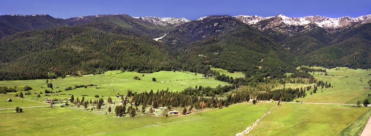
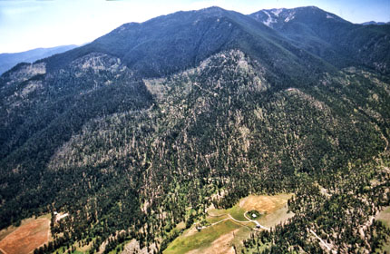
Powder Valley - East face of the Elkhorn Mountain Range
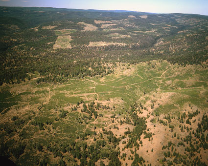
Aerial view of Marble Creek - Mill Creek - 1975
Aerial view of Marble Creek - Mill Creek - 1975

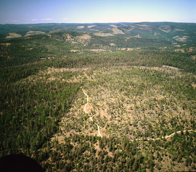
Powder Valley - East face of the Elkhorns - Salmon Creek to Pine Creek
Aerial view of 2014
Aerial view of 2014
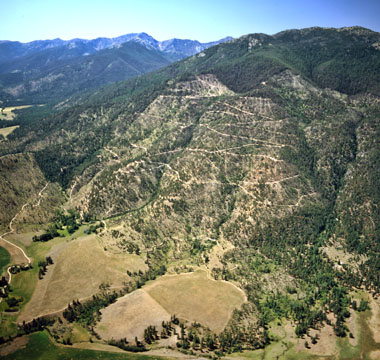
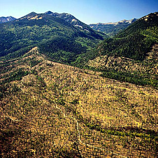
Hunt Mountain logging - 1992 and 2014 aerial photos
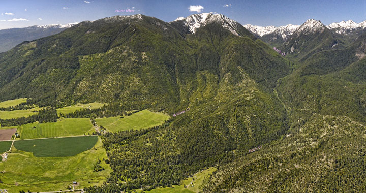
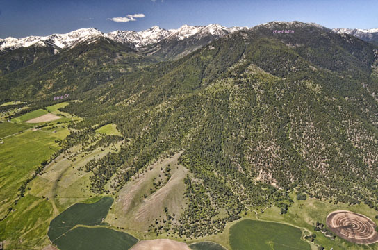
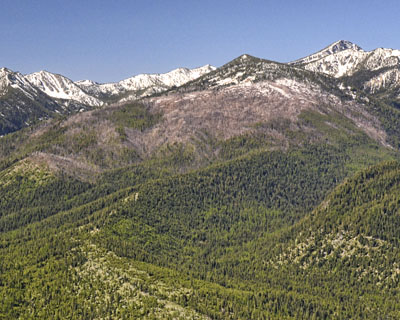
Powder Valley - East face of the Elkhorn Mountain Range - Hunt Mountain to Rock Creek
Aerial view of 2014
Aerial view of 2014
Hunt Mountain harvest area - 1992 photo
2006 Red Mountain Wildfire - 556 acres - 2014 photo

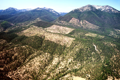
Rock Creek to Twin Mountain
Aerial view of 2014
Aerial view of 2014
Little Muddy Creek area Harvest
1992 photo
1992 photo
Little Muddy Creek area Harvest
1994 photo
1994 photo
East face of the Elkhorn Mountain Range - Little Muddy Creek to Little Antone Creek
Aerial view of 2014
Aerial view of 2014
East face of the Elkhorn Mountain Range - Antone to Anthony Creek
Aerial view of 2014
Aerial view of 2014
Shaw Mountain harvest areas - Aerial views of 1992